
 View on Asset Store (opens in new tab)
Package details
- Latest version
- 1.0.0
- Last updated
- First released
- Unity version
- 2022.3.11 or later
- Package size
- 3.0 GB
- Files
- 253
- Views in the past week
- 48
Price tracking
- Last checked
- Tracked since
- Lowest recorded
- $13.99 on
Keywords
USA Sierra Nevada & Cascades Real-World Terrains 100 km²
- Launch discount
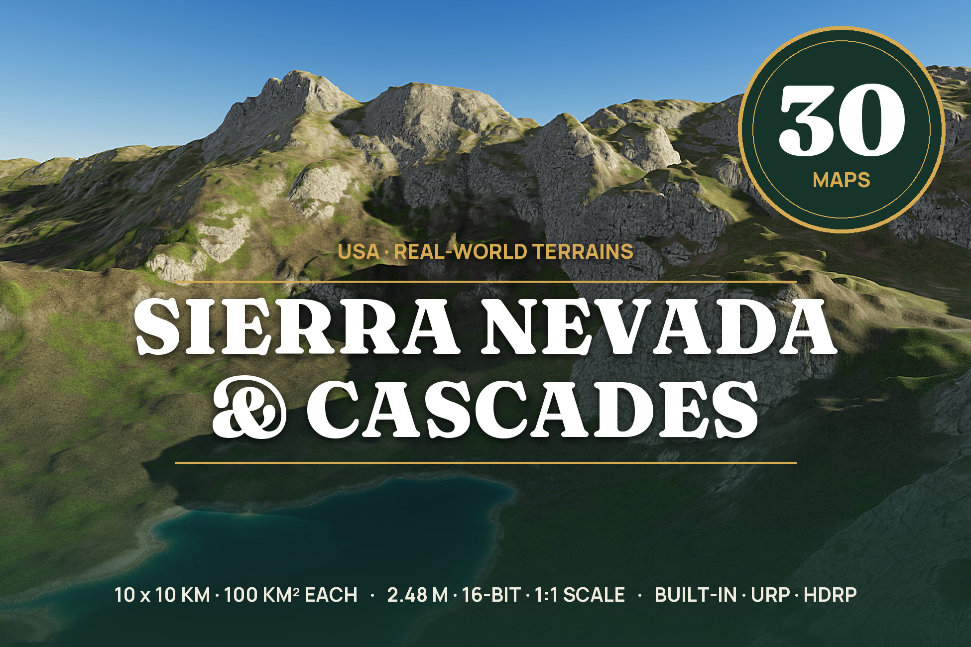
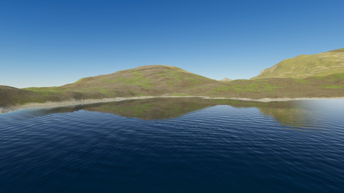
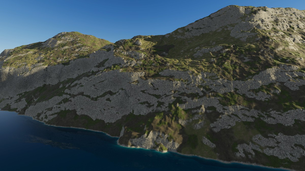
30 real-world maps of the Sierra Nevada and the Cascade volcanoes, 10 x 10 km (100 km²) each at 2.48 m, 1:1 scale. 9 demo scenes, Built-in/URP/HDRP.
Launch promotion for 426148 USA Sierra Nevada & Cascades Real-World Terrains 100 km² Ends (20 Nov)
Get 30% off on Asset Store (opens in new tab)Affiliate link · Purchases support this site
Price history
Last 6 months
USDAsset preview
1 / 20
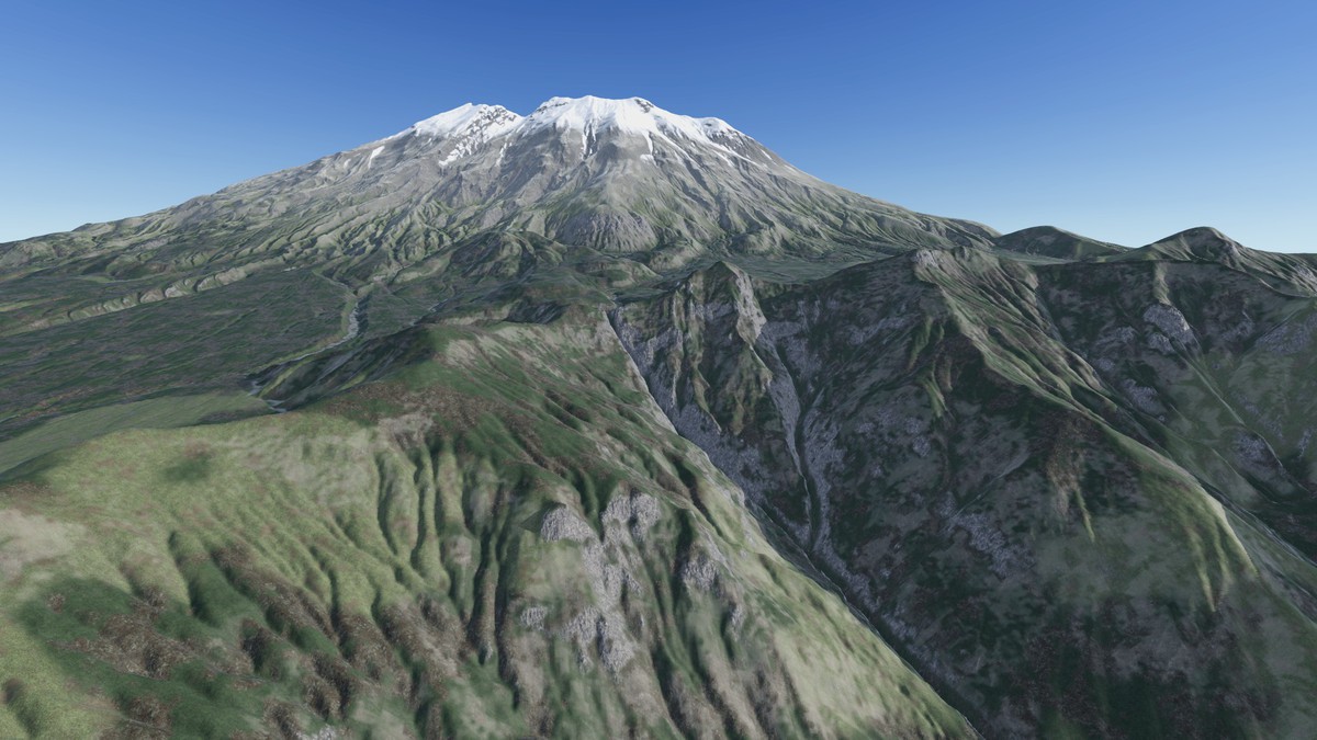
USA Sierra Nevada & Cascades Real-World Terrains 100 km² screenshot 1

About this asset
▶ Full 4K video showcase: https://youtu.be/5y0eNbm7Uxs
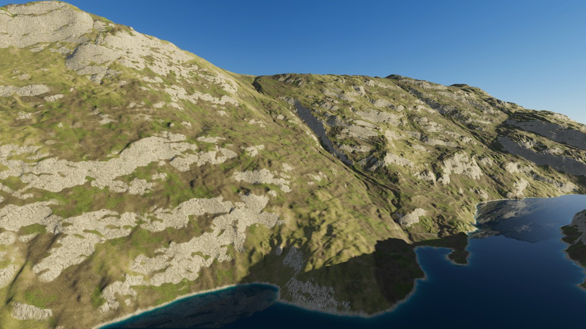
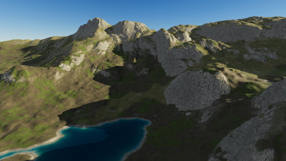
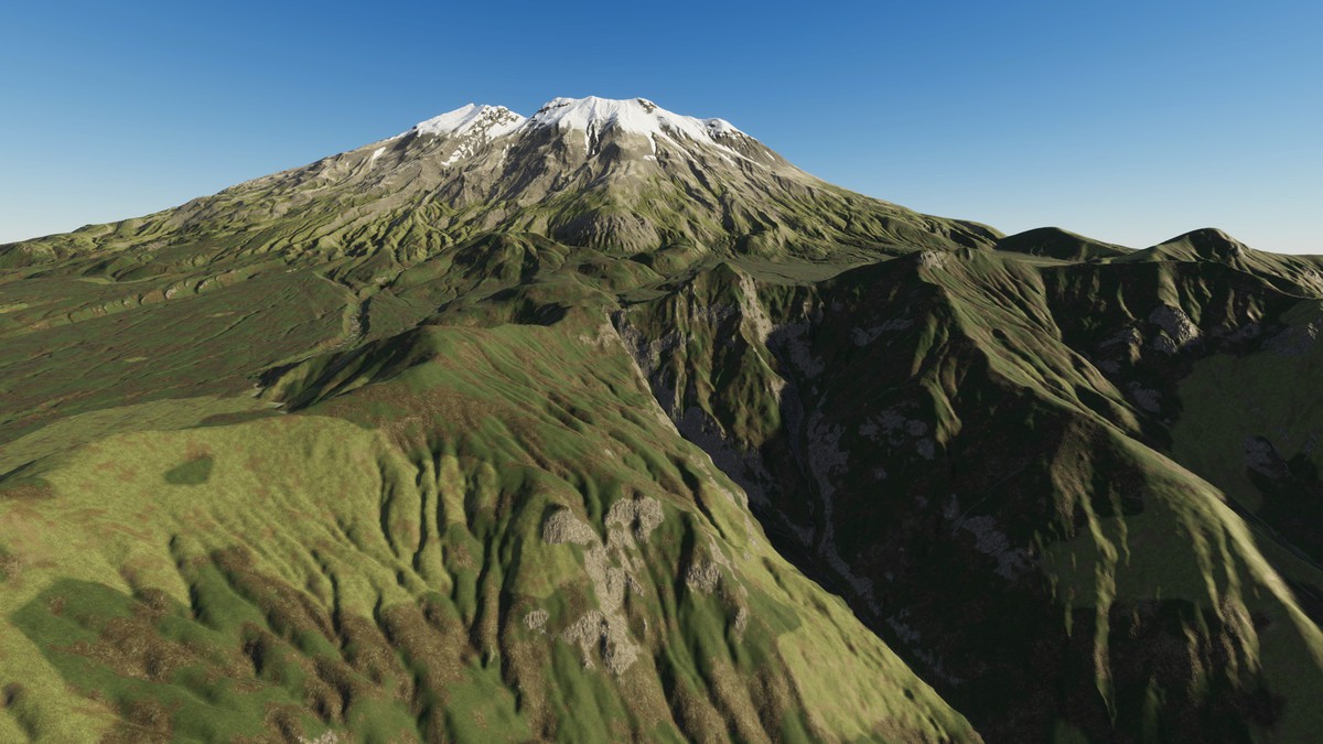
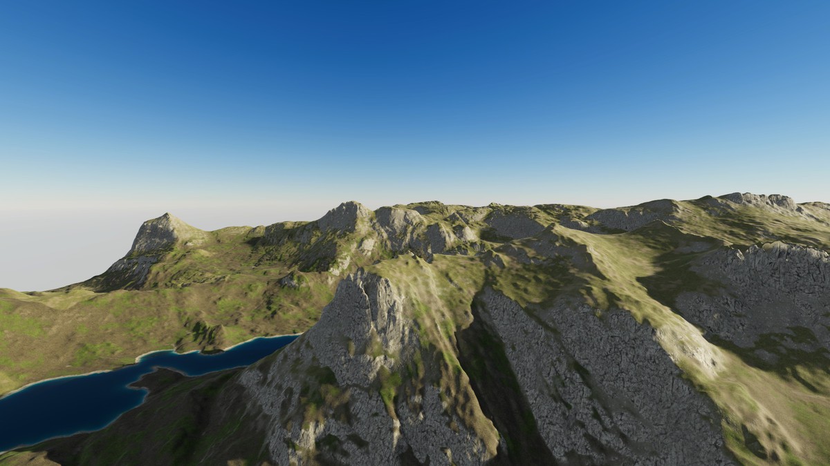
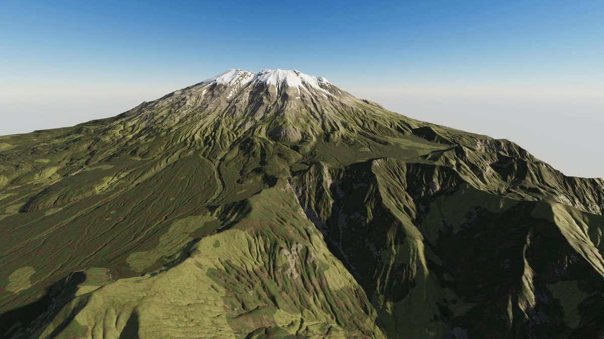
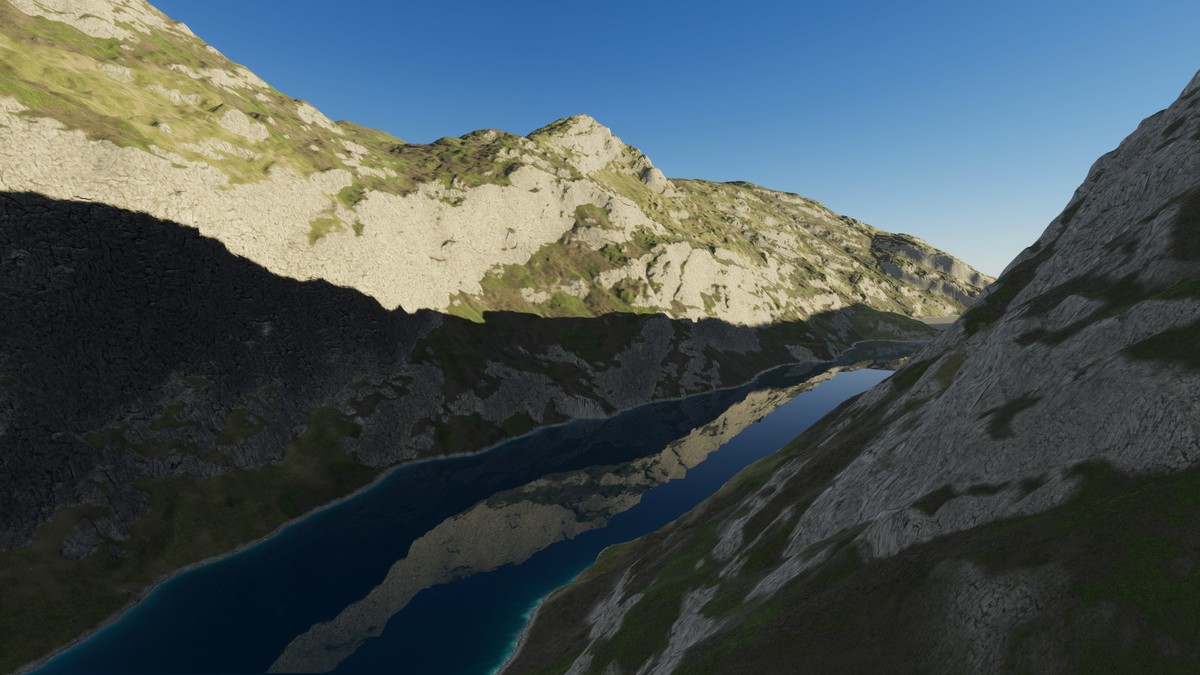
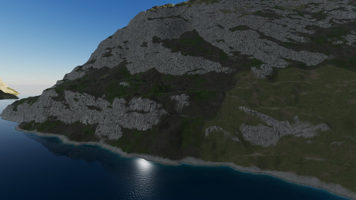
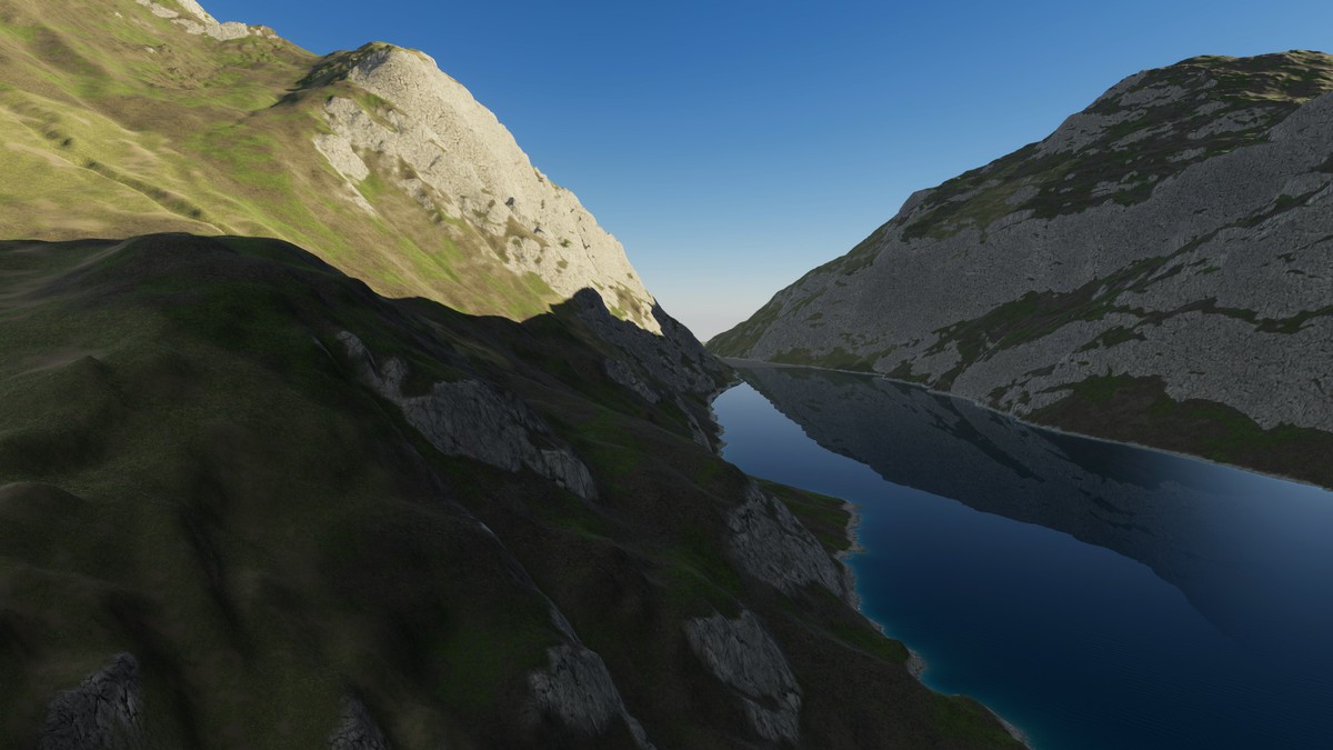
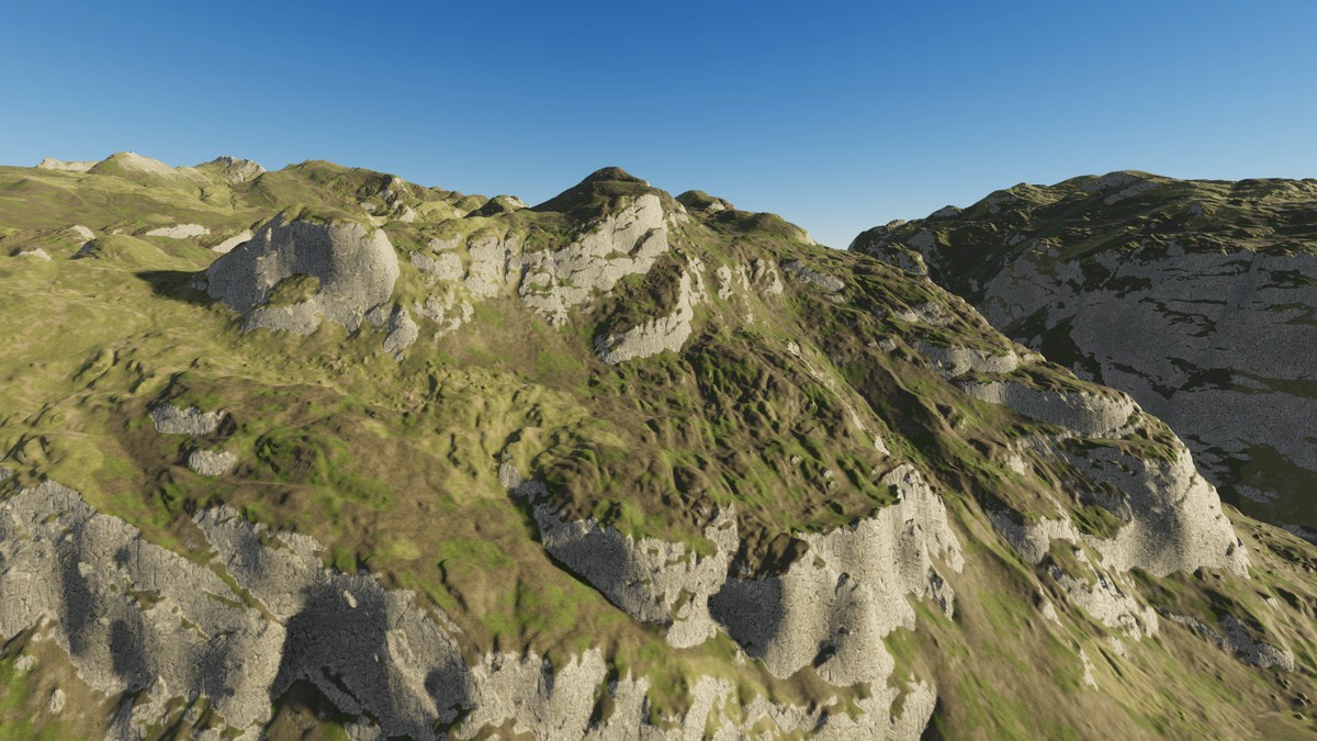
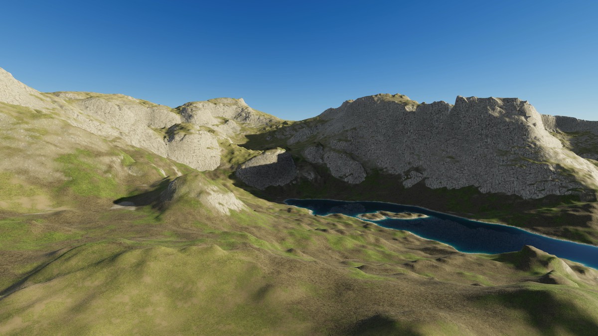
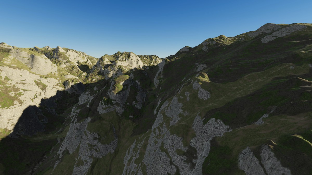
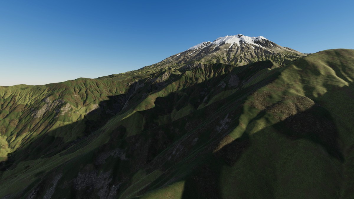
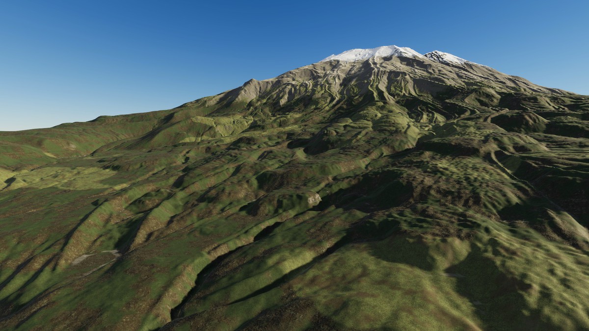
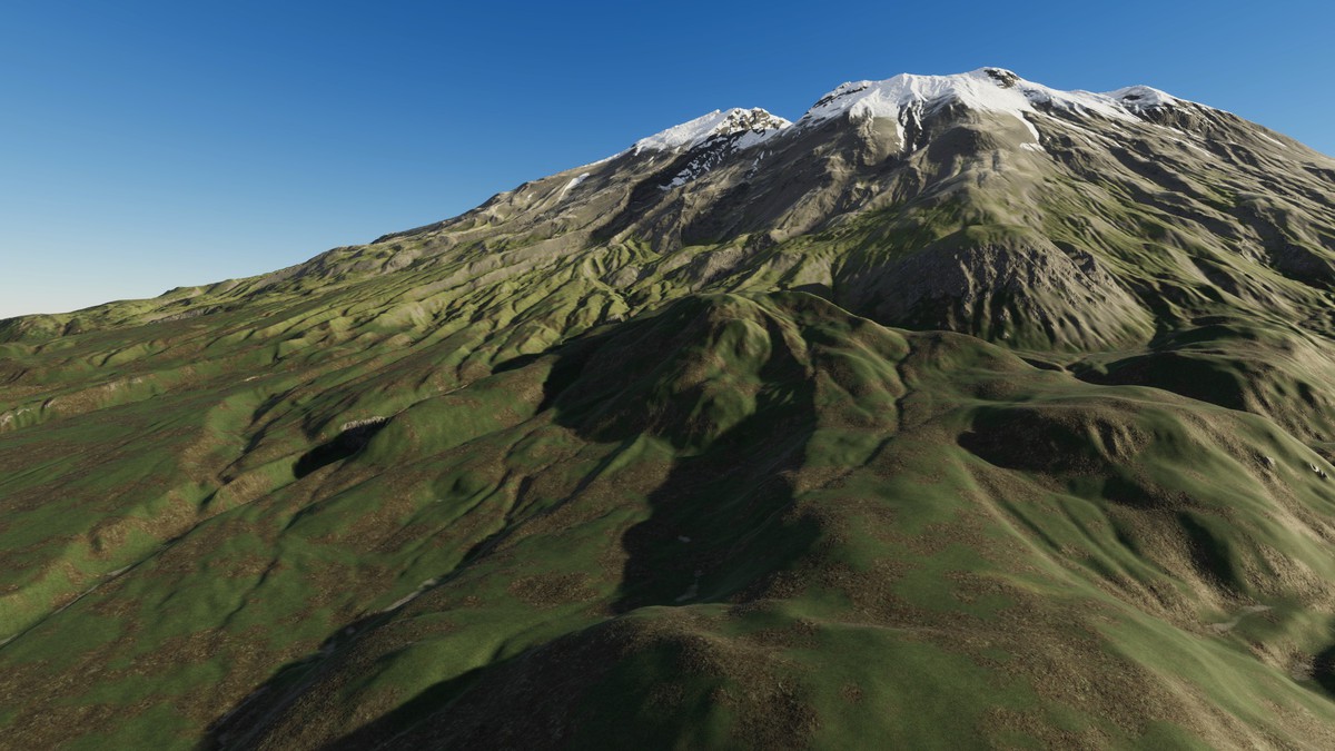
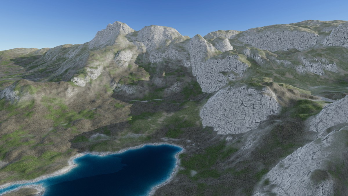
The Sierra Nevada and the Cascade volcanoes - granite domes, walls and canyons with high lakes, and the great volcanoes of Washington with their craters and lava ridges - at their real size, 10 x 10 km per map
30 maps of the Sierra Nevada and the Cascade volcanoes from real-world elevation data (DEM). Granite domes, sheer walls and glacier-carved canyons with high lakes in the Sierra Nevada, and the volcanoes of the Cascades - craters, lava ridges and deep forested valleys - with up to 2,739 m of relief on a single map. Each map covers 10.00 x 10.00 km (about 10 x 10 km, 100 square km) at 2.48 m between samples. Every Unity terrain sample is an original heightmap pixel - nothing is stretched or resampled - and 1 Unity unit is 1 metre.
✦ WHAT'S INSIDE
- 30 heightmaps - 16-bit PNG, 4033 x 4033 px, relief from 758 m to 2,739 m per map
- One Unity terrain per map - 4097 samples at the map's own 2.48 m spacing; the unused 64-sample strip at the edge is cut away with terrain holes
- 3 demo levels x 3 render pipelines - 9 ready scenes to fly or walk through: Granite Valley Lake, High Sierra Tarns, Volcano Crater
- Terrain Builder - one click turns any heightmap into a real-scale Unity terrain
- 2 ground looks - 8 ground layers each in 4K (Sierra Granite: meadow, forest floor, dry earth, scree, rock, gravel, bog, lake bed; Cascade Volcanic: meadow, forest floor, dry earth, scree, rock, gravel, snow, lake bed)
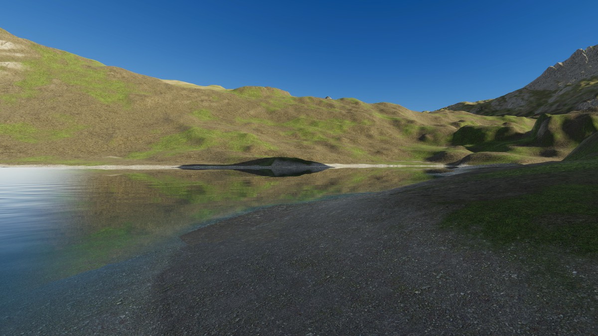
- Shore water - transparent granite lakes, high tarns and a long valley reservoir: clear at the shoreline, the bed visible in the shallows, darker water further out, rivers that follow the valley downhill, a thin moving shore film and wet ground just above the water, in Built-in, URP and HDRP
- Summer in the mountains - the ground of the demo levels is painted from the real shape of each map: conifer forest up to a tree line that climbs on sunny slopes, subalpine meadows, granite walls, slabs and talus, wet meadows on the valley floors, and pumice, lava and snowfields on the volcanoes
✦ FEATURES
- Huge real-world maps - 10 x 10 km of real ground in every map, at 2.48 m between samples: domes, walls, cirques, glacial valleys, tarns, crater rims and lava ridges are in the data itself
- Exact scale - size and height range are in every file name and inside every PNG, and the builder reads them for you
- Anti-tiling terrain shaders - every layer blends three texture sizes by viewing distance, so no repeating patterns
- Cliffs without stretching - textures are projected from the side on steep faces, so walls show real rock texture instead of vertical streaks; flat ground is unchanged
- Verify - compares every terrain height with the original pixels
✦ PERFORMANCE
- Native 3840 x 2160 - no upscaling, demo scenes in player builds: HDRP 88-152 FPS · URP 105-196 FPS · Built-in 136-194 FPS (RTX 3090)
✦ DEMO CONTROLS
Mouse look · WASD move · Shift fast · G walk at 1.8 m eye height · F fly · N / P next / previous level · H help
✦ UNITY 2022.3 AND ABOVE
Built-in, URP and HDRP in one package. Tools > Lidar Terrains > Project Setup switches on terrain holes, and Shore Water Setup the depth and opaque textures the water reads, in your pipeline asset with one click. The Built-in Render Pipeline has no post-processing, so the Built-in demo levels look simpler than the URP and HDRP ones.
✦ USE CASES
Open-world games · flight and driving simulators · hiking, hunting and survival games · cinematics · terrain studies. The heightmaps also work in other tools: 16-bit PNG, north up, size and height range in the file name.
✦ MORE REAL-WORLD TERRAINS
Same format, same tools:
- Alaska Mountain Peaks - https://assetstore.unity.com/packages/slug/425664
- Alaska Valleys & Uplands - https://assetstore.unity.com/packages/slug/425668
- Alaska Fjords, Lakes & Volcanoes - https://assetstore.unity.com/packages/slug/425670
- British Columbia Alpine Peaks - https://assetstore.unity.com/packages/slug/425040
- British Columbia Mountain Valleys - https://assetstore.unity.com/packages/slug/425042
- British Columbia Lakes & Rivers - https://assetstore.unity.com/packages/slug/425044
- British Columbia Plateau & Eskers - https://assetstore.unity.com/packages/slug/425046
From the publisher's Asset Store listing.
Technical details
- Heightmaps - 30 x 16-bit greyscale PNG, 4033 x 4033 px: 30 maps of 10.00 x 10.00 km (about 10 x 10 km, 100 square km) at 2.48 m per pixel
- Relief - 758 m to 2,739 m per map (lowest point of each map at 0)
- Unity terrains - one terrain of 4097 samples per map, terrain holes for the exact edge
- Height precision - one height level is about 2.3 cm on the flattest map and about 8.4 cm on the map with the largest height range
- Demo content - 3 map prefabs (one prefab works in every pipeline) + 9 demo scenes (3 per pipeline)
- Ground textures - Sierra Granite + Cascade Volcanic (16 ground layers) + the shared ground layers, 4096 x 4096 albedo, normal and mask
- Water - transparent lake and river surfaces whose colour comes from the real water depth (depth texture), soft shorelines, travelling waves and river flow, for Built-in, URP and HDRP
- Shaders - anti-tiling, world-aligned terrain shaders with side projection on steep faces (triplanar) for Built-in, URP and HDRP
- Editor tools - Terrain Builder, Project Setup, USA and UK Ground Textures; PDF documentation included
- Compatibility - Unity 2022.3 and above; Built-in, URP and HDRP
Compatibility
| Unity version | Built-in | URP | HDRP |
|---|---|---|---|
| 2022.3.11f1 | Compatible | Compatible | Compatible |
Unity 2022.3 and above. Built-in, URP and HDRP in one package. Real-scale terrains (1 unit = 1 m) built from the exact heightmap pixels.
As listed on the Asset Store.