
 View on Asset Store (opens in new tab)
Package details
- Latest version
- 1.1.1
- Last updated
- First released
- Unity version
- 6000.5.3 or later
- Package size
- 6.7 MB
- Files
- 55
- Favorites
- 2
- Views in the past week
- 7
Price tracking
- Last checked
- Tracked since
- Lowest recorded
- $7.50 on
Keywords

Orbis – 2D Image Interaction Toolkit
Orbis is a reusable 2D interactive map system for UI Toolkit. It lets you turn your maps into interactive parts of your game, allowing players to interact with individual regions.
Affiliate link · Purchases support this site
Price history
Last 6 months
USDAsset preview
1 / 5
Orbis – 2D Image Interaction Toolkit screenshot 1
About this asset
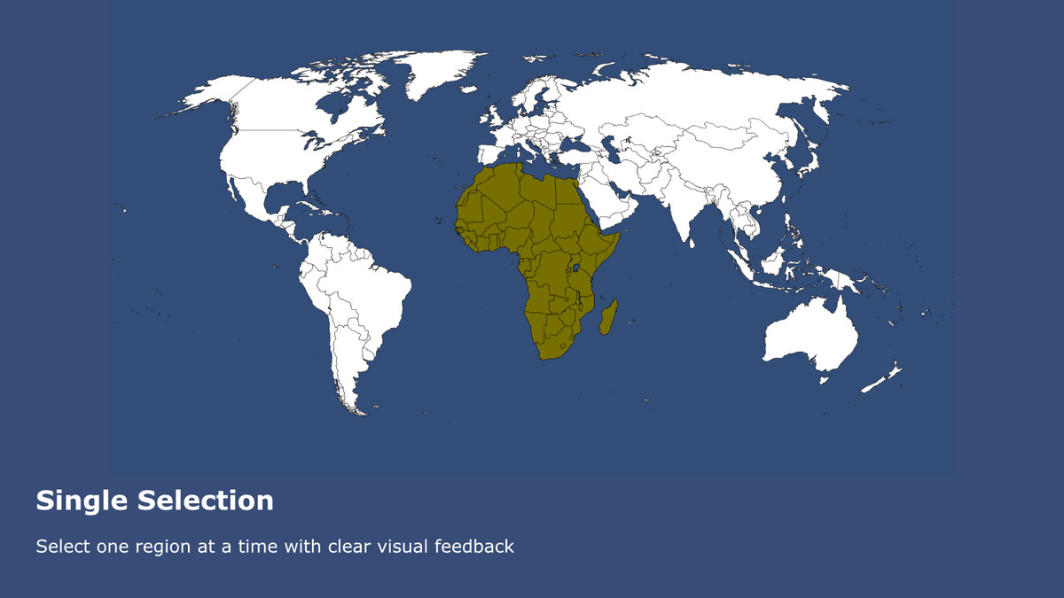
Orbis is a flexible 2D interactive map system for Unity UI Toolkit. Turn your maps into interactive experiences with region detection, hover effects, highlighting, clicking, selection, and data visualization.
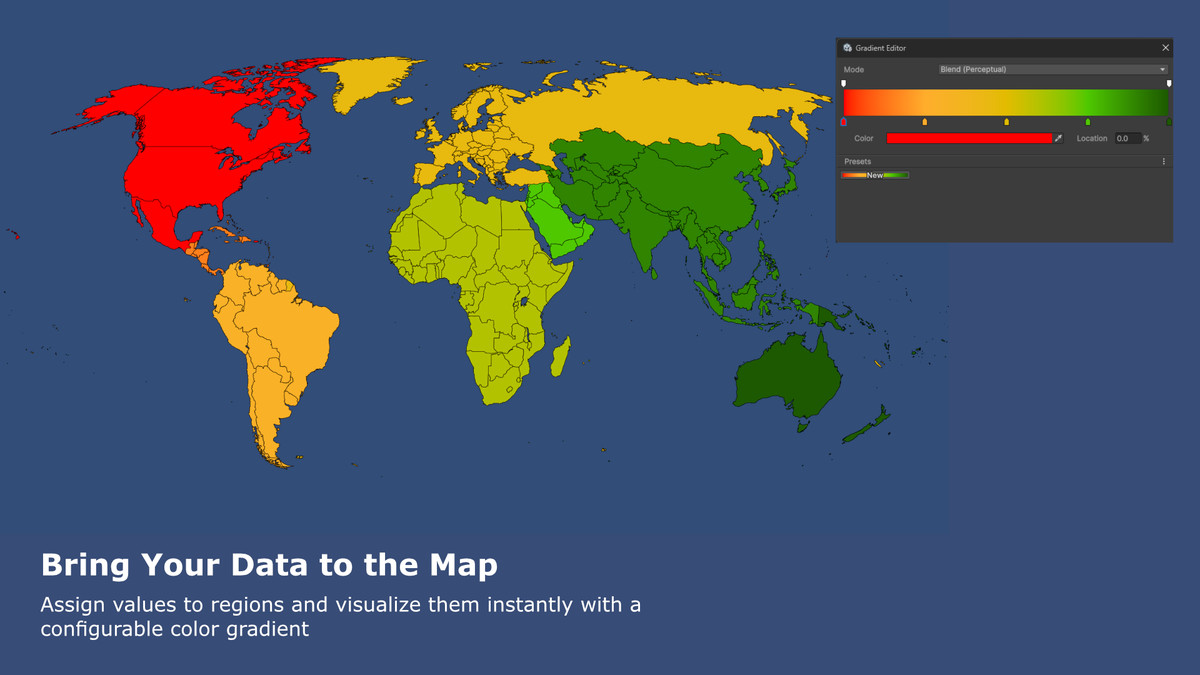
The package is highly customizable and supports both simple setups and advanced per-region configurations. Use your own maps, region graphics, colors, interaction logic, and numeric values to create map experiences that fit your project's visual style and gameplay needs. With Value Display Mode, you can visualize per-region data using configurable gradient colors.
Orbis is suitable for a wide range of genres and systems, including strategy games, management games, sports and motorsport games, simulation games, scouting systems, geographic interfaces, and any project that benefits from an interactive and data-driven map.
From the publisher's Asset Store listing.
Technical details
- 2D interactive maps built for UI Toolkit
- Region detection using color-coded ID maps
- Comprehensive input events
- Mouse hover and leave
- Left, middle, and right mouse buttons
- Keyboard key down
- Event-driven integration. Subscribe to published events and easily connect map interactions to your own game systems
- Hover and leave
- Mouse clicks
- Selection changes
- Keyboard input
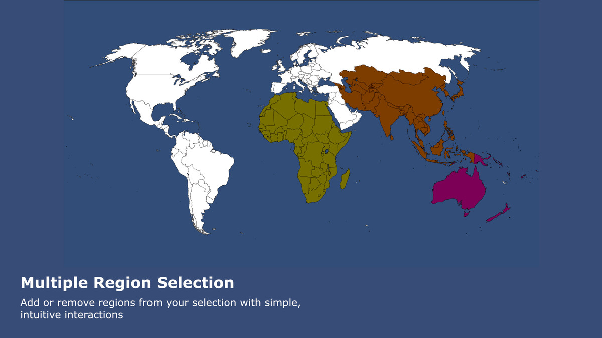
- Single and multiple selection modes
- Visual highlighting for hovered and selected regions
- Custom colors for highlighting and selection
- Value Display Mode for visualizing per-region numeric data with configurable gradient colors
- Simple configuration for quick setup
- Advanced configuration with per-region visual settings
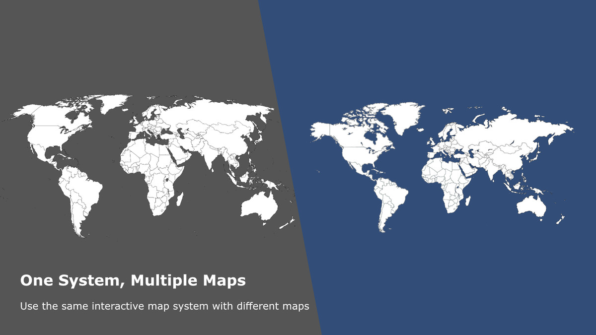
- Reusable map definitions for different maps
- Configurable logging with separate log levels
- Designed for strategy, management, simulation, sports, and other map-based games
Compatibility
| Unity version | Built-in | URP | HDRP | Custom |
|---|---|---|---|---|
| 6000.5.3f1 | Compatible | Compatible | Compatible | Compatible |
As listed on the Asset Store.