
 View on Asset Store (opens in new tab)
Package details
- Latest version
- 2.4.0
- Last updated
- First released
- Unity version
- 6000.0.80 or later
- Package size
- 525.2 MB
- Files
- 796
- Favorites
- 203
- Views in the past week
- 117
Price tracking
- Last checked
- Tracked since
- Lowest recorded
- Free on
Keywords

ArcGIS Maps SDK for Unity
Bring real-world location and geospatial data directly into your Unity real-time 3D & XR experiences.
Affiliate link · Purchases support this site
Price history
Last 6 months
USDAsset preview
1 / 26
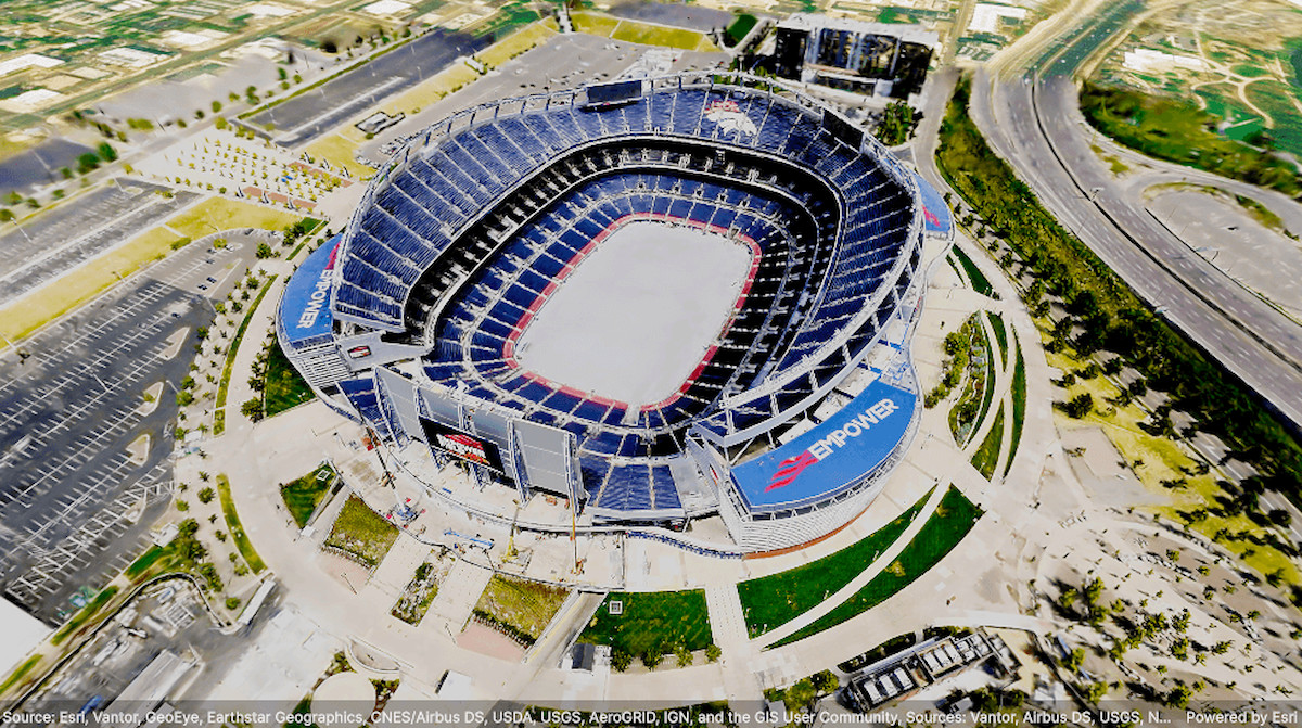
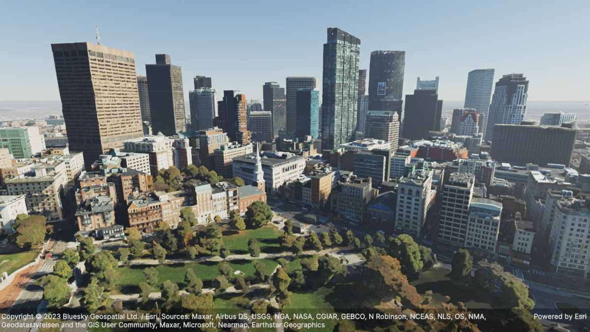
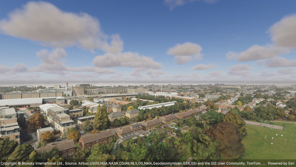
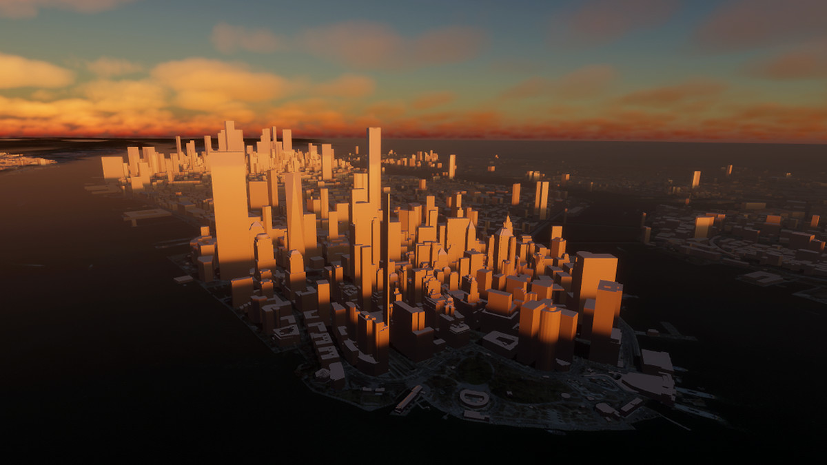
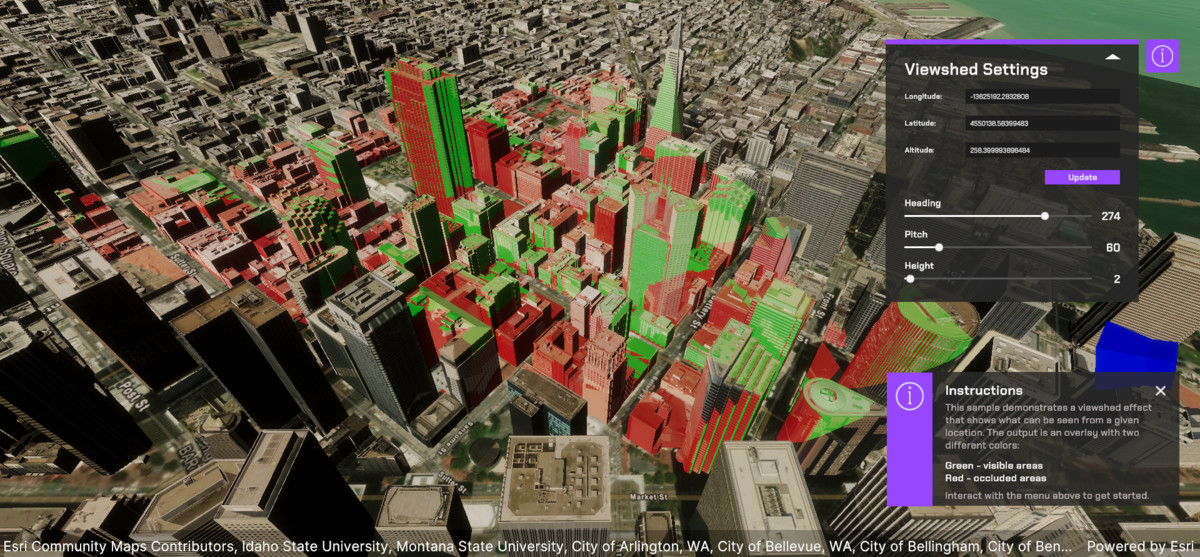
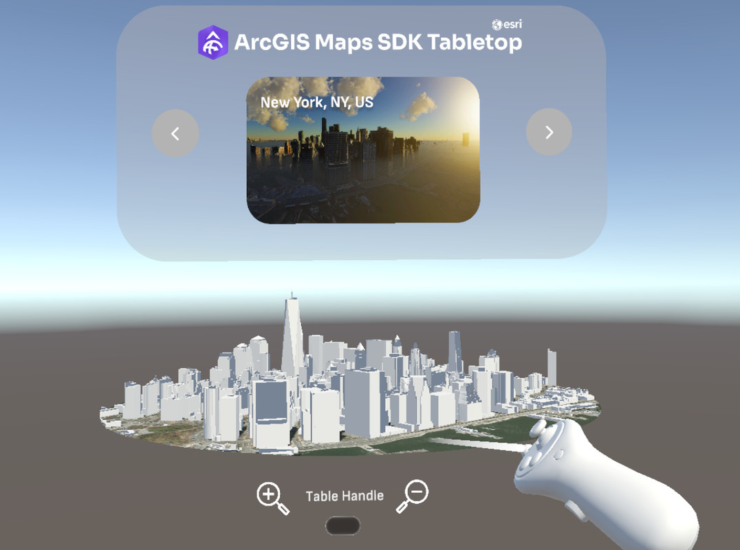
ArcGIS Maps SDK for Unity screenshot 1

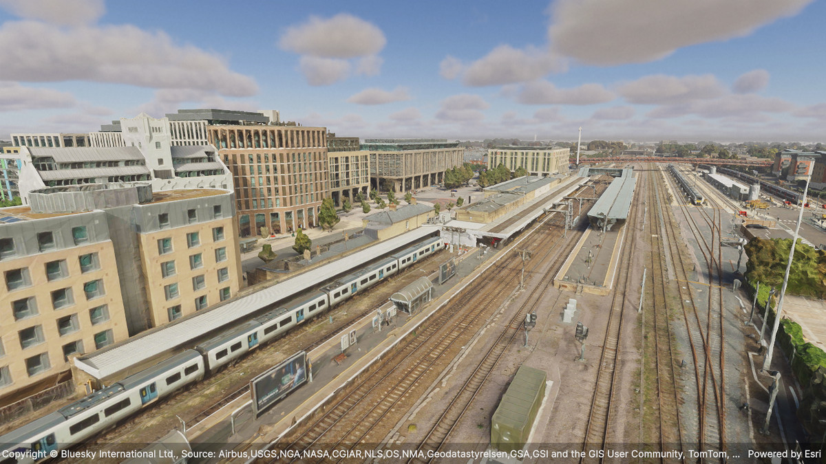
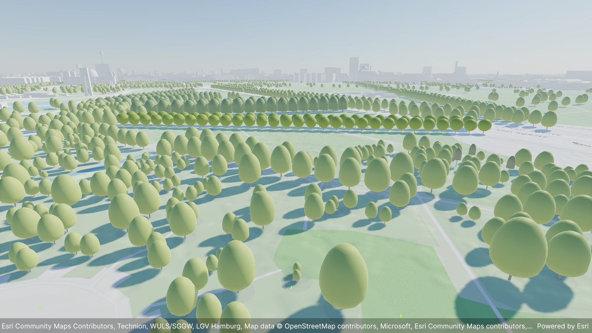
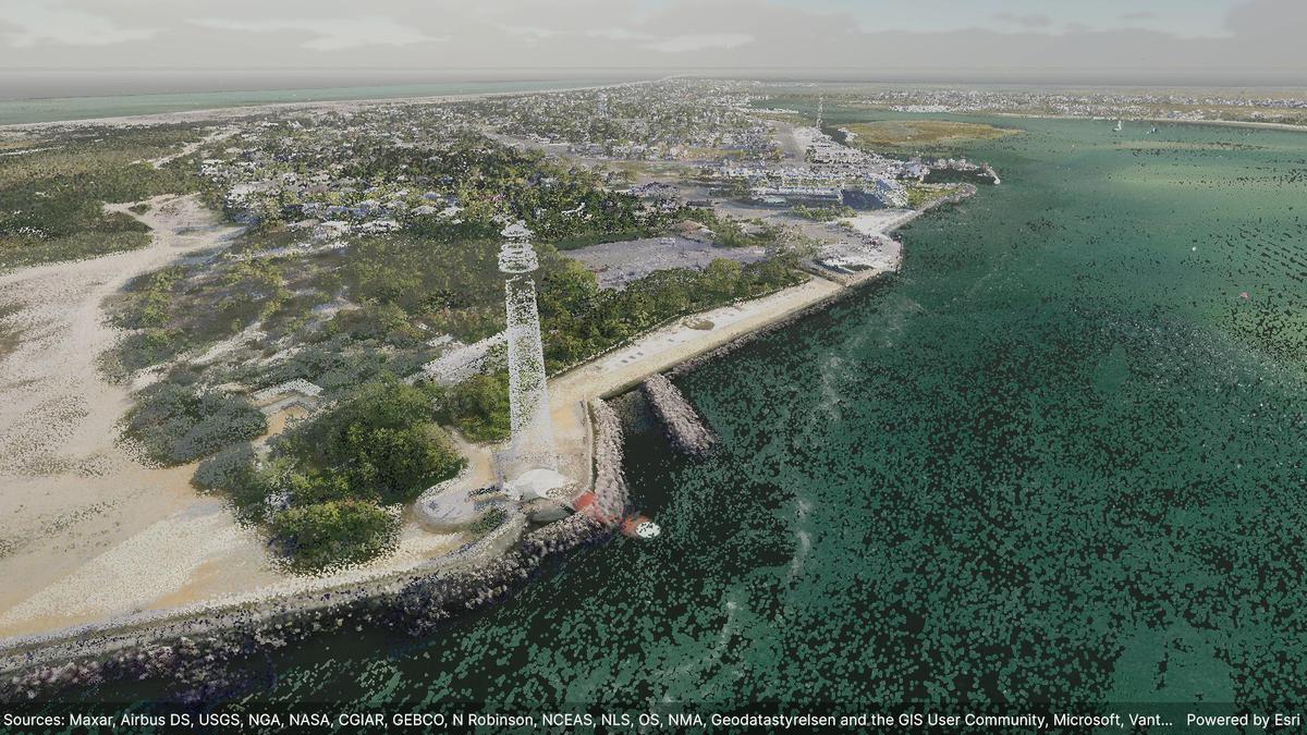









About this asset
Current version: 2.4.0 - August, 2026
Download | Documentation | Tutorials | Samples | Esri Community
The ArcGIS Maps SDK for Unity from Esri integrates the vast ecosystem of real-world location data and analytics provided by ArcGIS, plus open data sources, directly into Unity to help you create the next generation of real-time 3D and digital twin experiences.
Build solutions in Unity using the Map Creator UI, components, or a comprehensive C# API that enables you to consume a range of ArcGIS and open data sources, such as global basemaps, scene layers, and 3D Tiles layers.
Key Features:
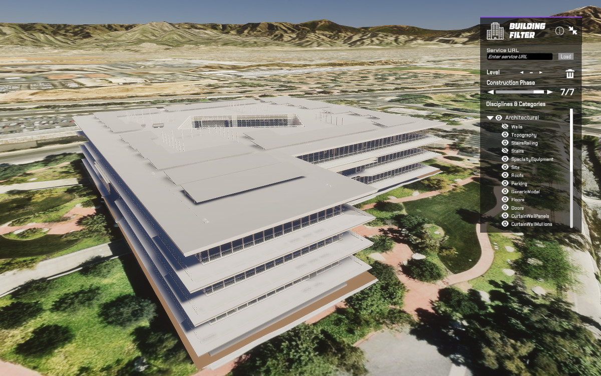
- Add real-world geospatial data to your Unity project.
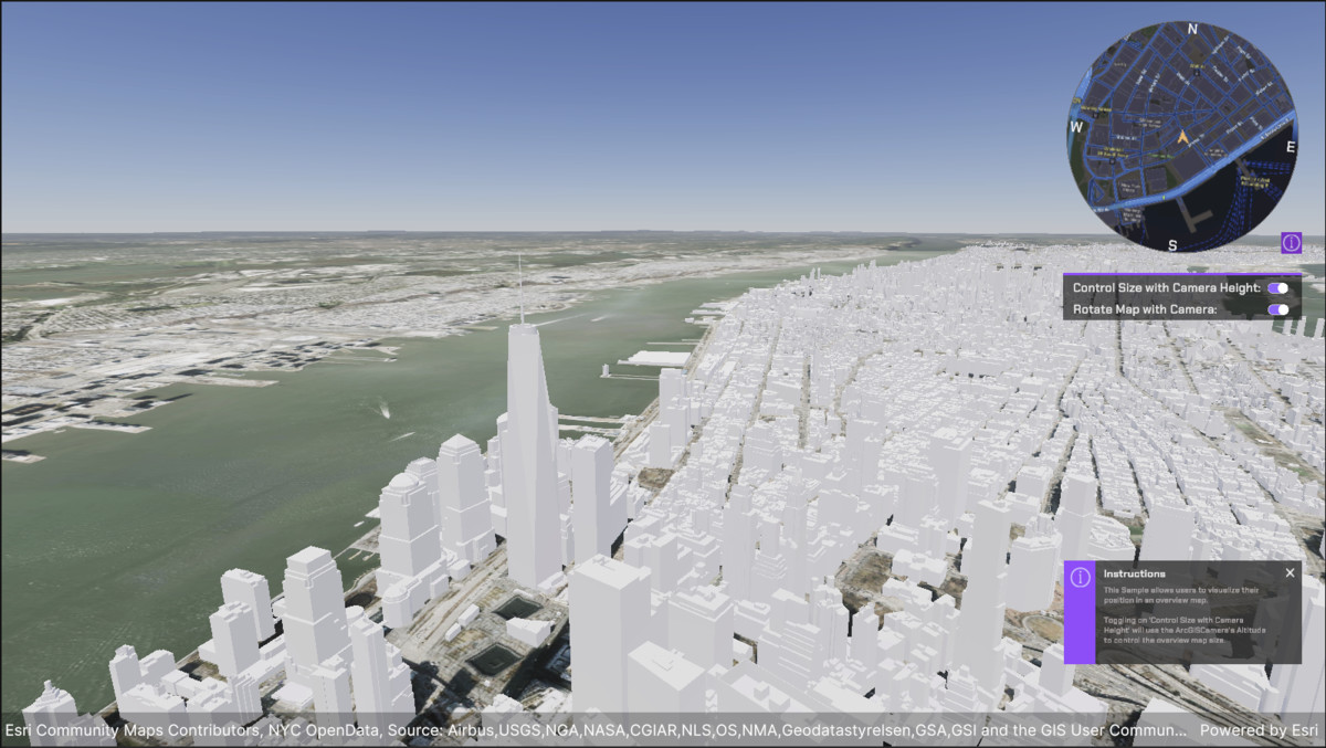
- Use Global and local scenes.
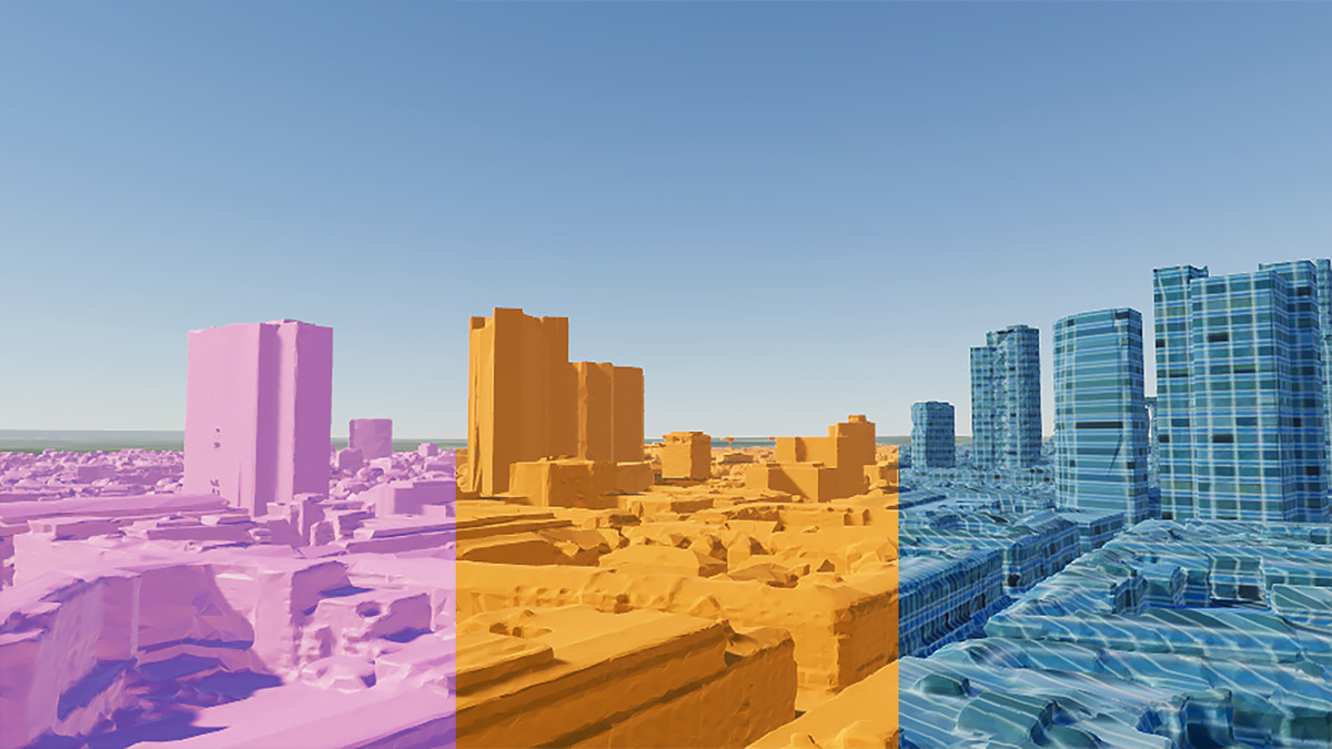
- Access multiple layer types: Gaussian splats, 3D objects, meshes, buildings, 3D Tiles, point clouds, 3D point features, vector tiles, and image tiles.
- Identify GIS features to get attributes and metadata.
- Render data based on underlying GIS attribute values.
- Create online or offline apps.
- Access secure services with OAuth 2.0 or API Keys.
- Utilize extensive spatial reference support.
- Create, manipulate, and analyze real-world points, lines, and polygons with a powerful Geometry API.
- Overlay and integrate multiple layers, datasets, and objects with mesh modifications and spatial filters.
License: EULA
From the publisher's Asset Store listing.
Technical details
Features:
- Use Global and local scenes
- Access multiple layer types: Gaussian splats, 3D objects, integrated meshes, buildings, 3D Tiles, point clouds, 3D point features, vector tiles, and image tiles
- Create terrain heightmaps from elevation layers
- Render attribute data in 3D object scene layers
- Identify underlying GIS data using raycast operations
- Place game objects using real-world coordinates
- Enjoy Editor UI, component, and C# API support
- Access data layers online and offline
- Use OAuth 2.0 and API Keys to access secured ArcGIS location services
- Create geometries using real-world coordinates including points, lines, and polygons
- Manipulate and analyze geometry (e.g. buffer, offset, measurement, union, intersect)
- Utilize extensive spatial reference support
- Uses the Unity High Precision framework
Number of C# Classes: 80+ classes for working with real-world geographic data
Supported Development Platforms: Windows (x64), macOS (x64, Apple silicon)
Supported Target Build Platforms: Android (arm64), HoloLens (arm64), iOS (arm64), macOS (x64, Apple silicon), UWP (arm64, x64), Windows (x64)
Documentation: SDK Homepage and C# API Reference
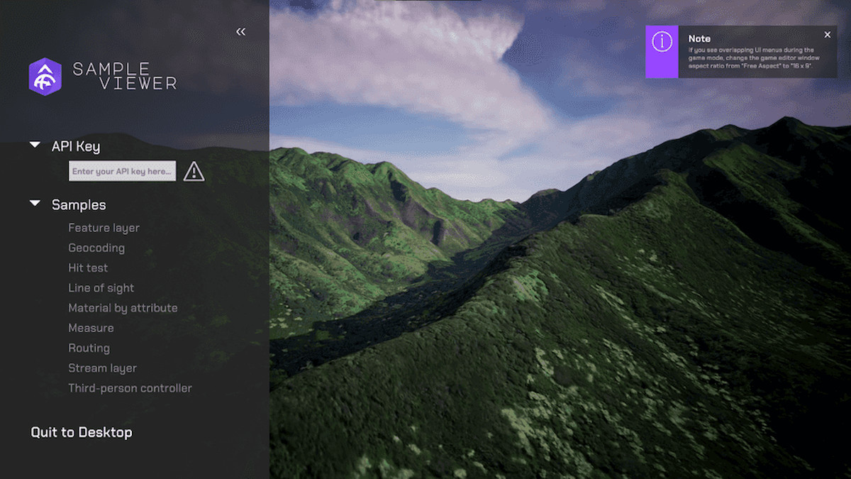
Example Project: GitHub Samples
Compatibility
| Unity version | Built-in | URP | HDRP |
|---|---|---|---|
| 6000.0.80f1 | Not listed | Compatible | Compatible |
As listed on the Asset Store.